
The Rongai Route
About the Rongai Route
The Rongai route is the only route that approaches Kilimanjaro from the north, close to the Kenyan border. Though gaining popularity amongst climbers, this route still experiences low crowds. Rongai has a more gradual slope than the mountain’s other routes. It is the preferred route for those looking for an alternative to the popular Marangu route, for those who would like a more remote hike, and for those who are climbing during the rainy season (the north side receives less precipitation). Rongai is a moderately difficult route, and is highly recommended, especially for those with less backpacking experience. Although the scenery is not as varied as the western routes, Rongai makes up for this by passing through true wilderness areas for nearly the entire way. Descent is made via the Marangu route.
Using this route accommodation will be in tents for sleeping and a tented common dining area. The chef will prepare all of your meals and will boil and treat water for drinking.
Rongai Route 7-Day Itinerary
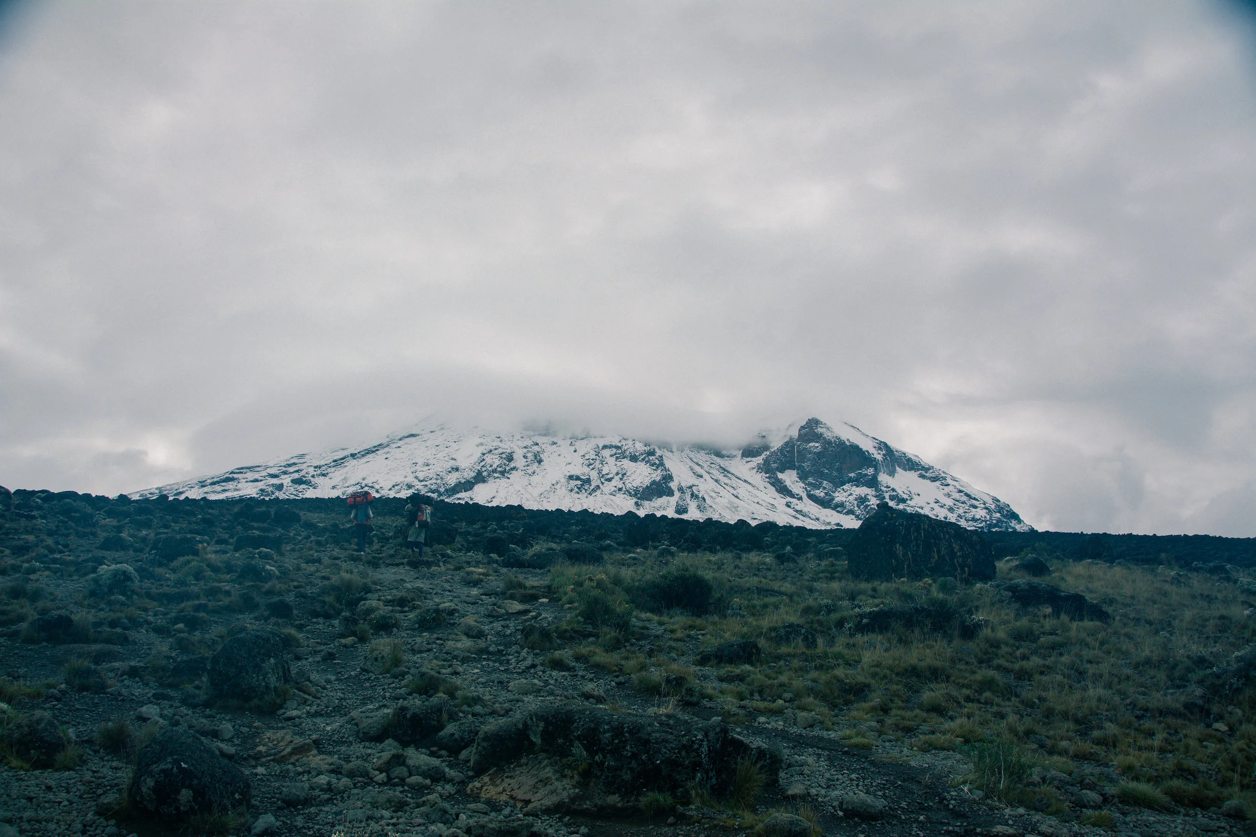
Day 1: Simba Camp
Drive to the attractive wooden village of Nale Moru (about 2 hours including a stop to get permits at Marangu). After signing in and preparing the porters, you will begin the hike on a wide path that winds through fields of maize and potatoes before entering pine forest. The track then starts to climb consistently but gently through attractive forest that shelters a variety of wildlife. The forest begins to thin out and the first camp is at the edge of the moorland zone with extensive views over the Kenyan plains.
Elevation: 2000m/6560ft to 2650m/8700ft
Distance: 6km/4mi
Hiking Time: 3-4 hours
Habitat: Montane Forest
Meals: Lunch and Dinner
Day 2: Second Cave
The morning hike is a steady ascent up to the Second Cave with superb views of Kibo and the Eastern ice fields on the crater rim.
Elevation: 2650m/8700ft to 3450m/11,300ft
Distance: 6km/4mi
Walking Time: 3-4 hours
Habitat: Moorland
Meals: Breakfast, Lunch and Dinner
Day 3: Kikelwa Camp
Head out across the moorland on a smaller path towards the jagged peaks of Mawenzi. The campsite is in a sheltered valley with giant Senecios nearby.
Elevation: 3450m/11,300ft to 3600m/11,800ft
Distance: 9km/5mi
Walking Time: 2-3 hours
Habitat: Semi-desert
Meals: Breakfast, Lunch and Dinner
Day 4: Mawenzi Tarn
A short but steep climb up grassy slopes is rewarded by superb views. Leave the vegetation behind shortly before reaching the next camp at Mawenzi Tarn, spectacularly situated in a cirque directly beneath the towering spires of Mawenzi. The afternoon will be free to rest or explore the surrounding area as an aid to acclimatization.
Elevation: 3600m/11,800ft to 4330m/14,200ft
Distance: 6km/4mi
Walking Time: 3-4 hours
Habitat: Semi-desert
Meals: Breakfast, Lunch and Dinner
Day 5: Kibo Hut
Cross the lunar desert of the ‘Saddle’ between Mawenzi and Kibo to reach Kibo campsite at the bottom of the Kibo crater wall. The remainder of the day is spent resting in preparation for the final ascent very early.
Elevation: 4330m/14,200ft to 4750m/15,600ft
Distance: 9km/5mi
Hiking Time: 4-5 hours
Habitat: Alpine Desert
Meals: Breakfast, Lunch and Dinner
Day 6: Summit to Horombo Hut
Very early in the morning (midnight to 2am), commence the climb to the summit on steep and heavy scree or snow up to Gilman’s Point located on the crater rim (elev 5700m/18,700ft). Continuing, we now ascend to Uhuru Peak, which is the highest point in Africa. There are unbelievable views at every turn. Have your picture taken at the summit to show your friends and family. From here we descend, stopping for lunch and a rest at Kibo before continuing on to the Horombo encampment.
The beginning of this climb is done in the dark and requires headlamps or flashlights. It will be very cold until you start descending, so you will need all of your warm layers. This is by far the most difficult part of the trek with many switchbacks. Going slowly “pole pole” and an optimistic attitude will get you there!
Elevation: 4700m/15,500ft to 5895m/19,340ft
Down to 3700m/12,200ft
Distance: 6km/4mi up / 15km/9mi down
Hiking Time: 6-8 hours up / 6-8 hours down
Habitat: Alpine Desert
Meals: Breakfast, Lunch and Dinner
Day 7: Gate
After breakfast, a steady descent takes us down through moorland to the Mandara Hut. Continue descending through lush forest path to the National Park gate at Marangu. At lower elevations, it can be wet and muddy. Gaiters and trekking poles will help. Shorts and t-shirts will probably be plenty to wear (keep rain gear and warmer clothing handy).
A vehicle will meet you at Marangu gate to drive you back to your hotel in Moshi (about 1 hour).
Elevation: 3700m/12,200ft to 1700m/5500ft
Distance: 20km/12.5mi
Hiking Time: 4-5 hours
Habitat: Forest
Meals: Breakfast